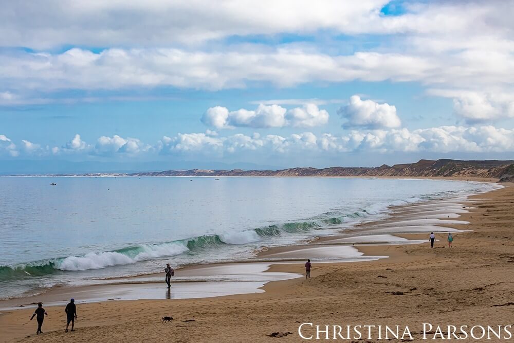
The 276 miles of shoreline and the proximity to runoff from the land makes the sanctuary vulnerable to pollution from approximately 7,000 square miles of watershed area that drains to it, including contaminants such as nutrients, pathogens, pesticides, metals, persistent pollutants, and plastics.

Regional Coordination
Monterey Bay National Marine Sanctuary and partners lead regionally integrated and cohesive water quality monitoring efforts to gather data and information from many sources to meet regulatory requirements.

Agriculture Water Quality Programs
Regional partnerships that bring together farmers, ranchers, technical service providers, researchers, and resource conservation agencies to protect water quality in the sanctuary.

Water Quality Monitoring
The Citizen Watershed Monitoring Network assesses water quality threats and trains volunteers to collect robust and meaningful water quality data.

Cruise Ships
Sanctuary staff work with partners to enforce federal and state regulatory requirements for cruise ships within Monterey Bay National Marine Sanctuary.
Water Use
Learn how Monterey Bay National Marine Sanctuary, with other state and local agencies, addresses issues associated with water use projects.